Public Hearing
Notice Packages
The complete notification package for your development projects. Built, mailed, and documented.
The complete notification package for your development projects. Built, mailed, and documented.
The base package is always included. Add-ons are optional.
Certified property owner list, radius map with parcel buffering, notice letter template, and print-ready mailing labels.
No extra cost. Add your hearing details for print-ready notice letters, one per recipient.
We print, prepare, and mail your notices, with proof of mailing and a ready-to-file package.
We print, install, and photograph your public hearing sign.
We place your legal ad in the newspaper required by your jurisdiction and deliver proof of publication.
Everything merged into a single filing-ready PDF.
Data from official county sources, precise parcel-based radius calculations, and submission-ready deliverables.
What you typically get from other providers
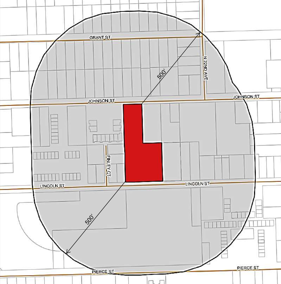
Centroid-based circle — misses edge parcels
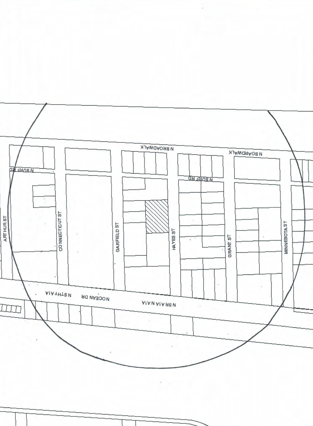
Upside-down labels, no legend, no color
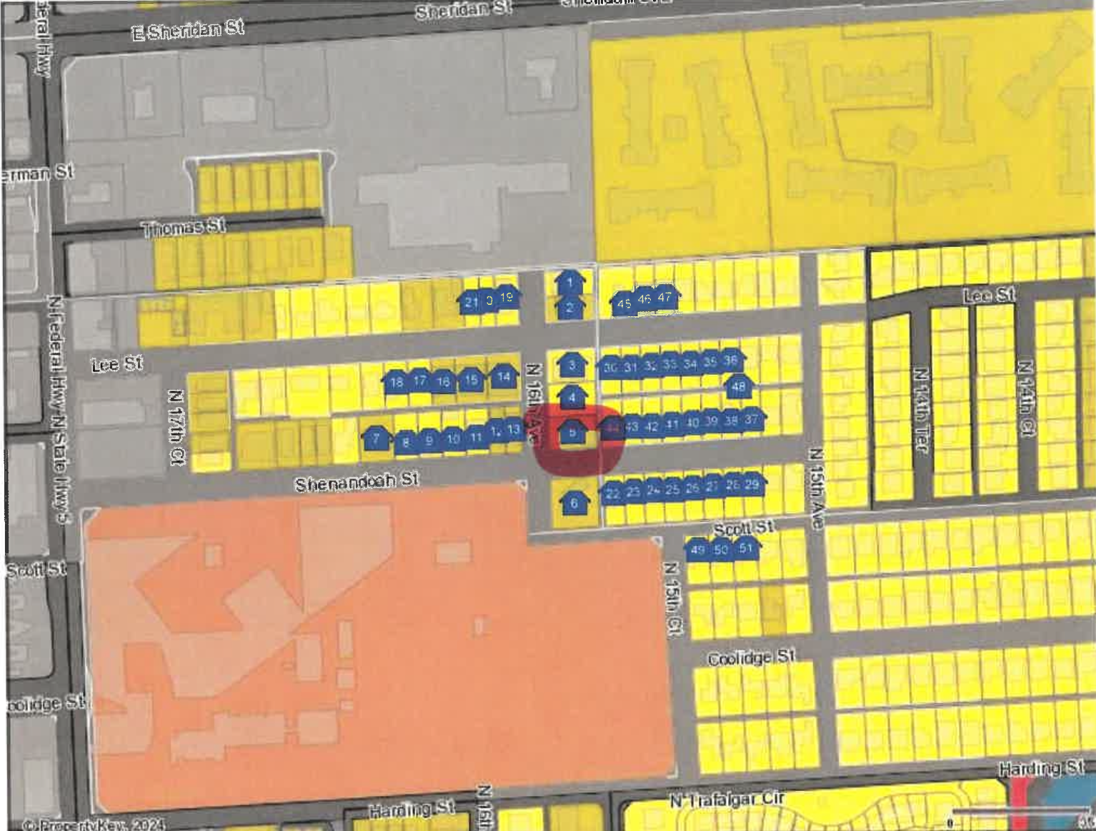
Cluttered icons, no clear boundary, hard to read
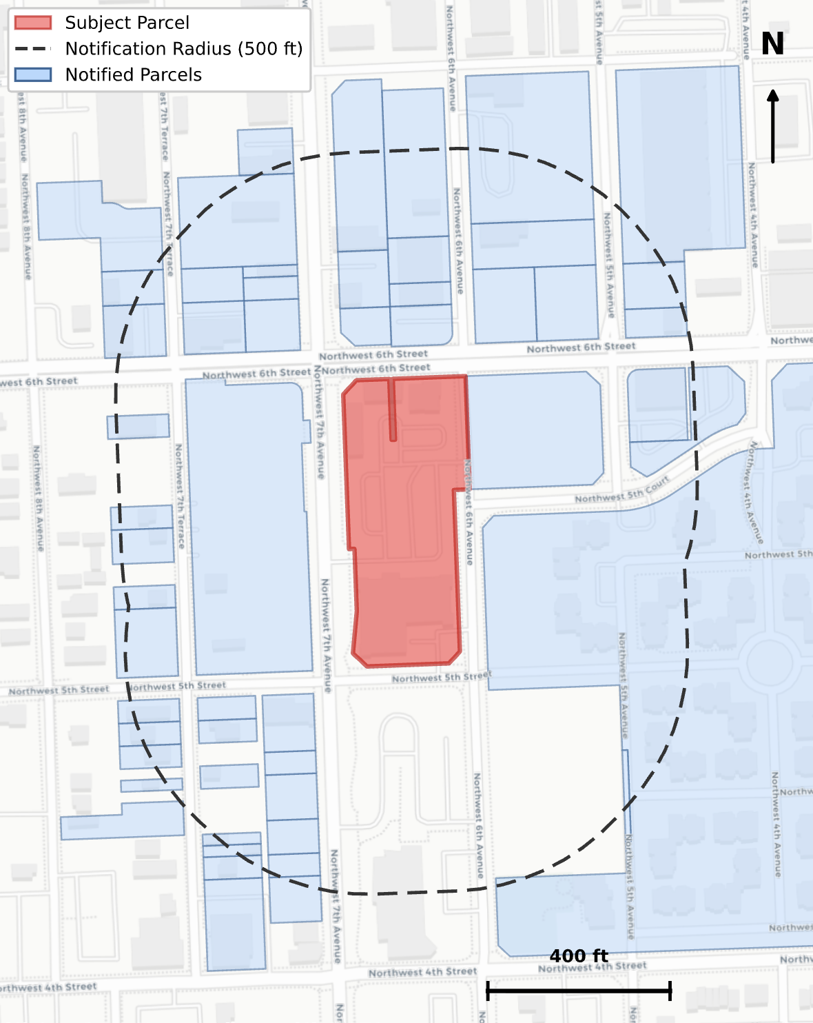
What you get from us
Project address, parcel ID, approval type, hearing date.
Certified owner lists, radius maps, and compliance-ready documentation from verified county data.
Mailing, signage, and proof assembly (if selected).
Affidavit, recipient list, postal receipts, and all supporting documents, packaged and ready for your hearing.
Where our data comes from and why it's reliable.
County parcel boundaries sourced from authoritative GIS systems, not approximations.
Property appraiser data cross-validated against multiple official sources, with roll date documented on every list.
Radius measured from parcel boundary to parcel boundary, not centroid. Every affected parcel captured.
Notice requirements researched from actual municipal codes and encoded per municipality. Not one-size-fits-all.
Every order produces documented data provenance. If a list is ever challenged, we can show exactly where the data came from.
E&O coverage for the work we produce.
Project address, parcel ID (folio number), approval type, and hearing date. That's it. We handle everything else.
Yes. The base package includes the certified property owner list, radius map, and mailing labels. Notice letters, mailing service, and proof packages are all optional add-ons.
Most orders are completed within 2 business days.
Parcel geometry from official county GIS systems and owner records from county property appraisers, cross-validated against multiple sources. Every list documents the data source and query date.
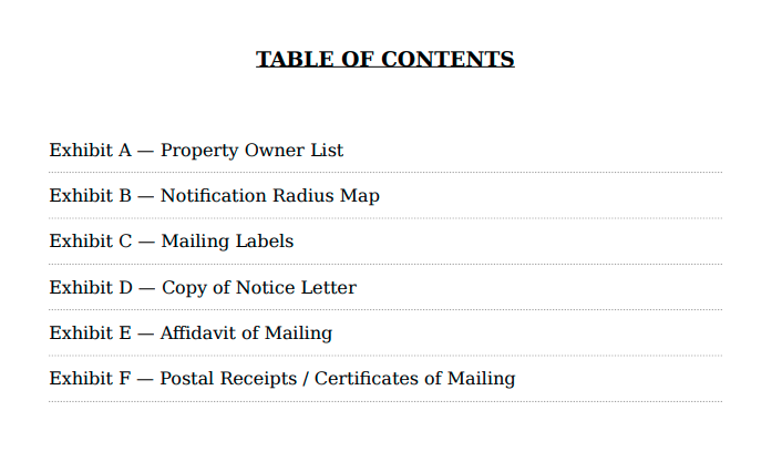
Cover page, table of contents, property owner list, notification radius map, mailing labels, copy of the notice letter, executed affidavit of mailing, and postal receipts — all merged into a single PDF. Formatted for direct submission to the reviewing agency.